 |
| Cape Flattery, WA is the Virtual NW Corner of the Contiguous U. S. |
 |
| Yes, Cape Flattery is Beautiful! |

 |
| Sorry but some tourists from Japan asked if I wanted them to take my picture at Cape Flattery. |

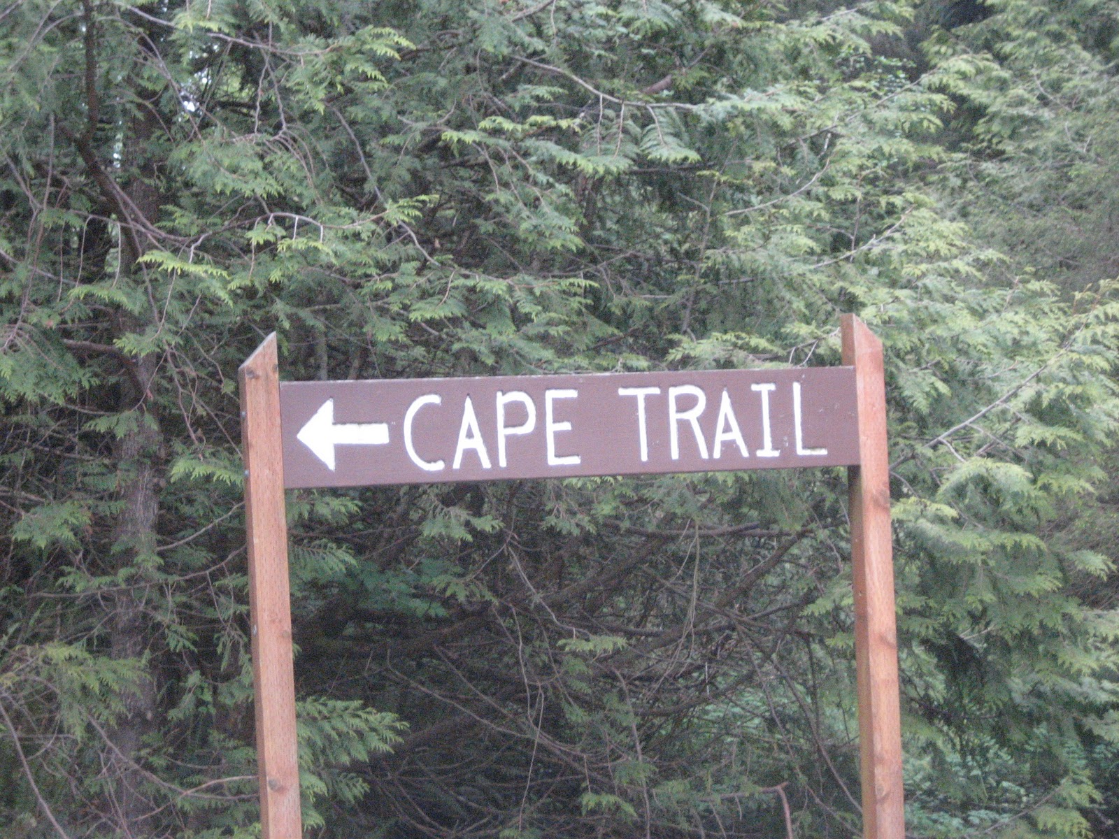
It's a long 450 mile day with several observations. First, the scenery has been spectacular, as is most of the Pacific NW. Second, I learned that 25% of the oysters harvested in the U. S. come from the area around South Bend, WA. Third, I saw a sign about THREE, count 'em, THREE rainforests. I thought "rainforests, that's all I need!" Fourth, it occurred to me that I didn't see any timber clearcutting in California. It took me reaching the granola-eating, tree-hugging, dirt-worshipping, organic state of Oregon to see widespread clearcutting. Fifth, I've seen plenty of ditch roads-the forest is so deep and dense that all I can see is a narrow strip of the sky above. Today, I've probably seen 20-25 miles of tunnel roads-the foliage and trees are so thick both on the sides of and over the roads that it leaves you in a tunnel where it's almost dark. Last and most significant is that late this afternoon I made it to Cape Flattery. Road maps only show roads to Neah Bay, WA but the Mekah Indian Tribe built a toll (!) road from Neah Bay to Cape Flattery.
Here are a few pics of the area around the cape and the trail from the end of the road to the Cape Trail. This is the NW corner of the lower 48 states. This is the point where the Pacific is on your left and the Strait of Juan de Fuca leading to Seattle and Tacoma is on your right. Most road maps don't show any roads West of Neah Bay, WA but the map from the Olympic National Park shows an unnamed road owned by the Mekah Indian tribe that goes to within one-half mile of the point of the cape. The last half mile is a beautiful hike through an old growth forest that reminds me of all those beautiful hikes we took when we lived in Oregon.
The views from Cape Flattery have been the most beautiful I've seen . . . . other than Big Sur! I tried to use my iPhone out at the Cape and I connected to a Canadian cell network. The Strait separates Canada from the U. S. and allows ocean-going ships to access Seattle, Tacoma, and even Olympia, WA. Tomorrow should see a ferry from Port Townsend, some of the San Juan islands, and then back to the mainland headed East!
East! First I went South from Kingwood and Galveston to reach the U. S.-Mexican border. Then it was predominantly West along the U. S.-Mexican border to San Diego, CA. Then it was North along Highway 1-the Pacific Coast Highway to Cape Flattery and now I'm finally headed East!
No comments:
Post a Comment